

Project Details
• Location: Wilkinson County, Mississippi
• Acreage: ~3,200 acres (HBP) 15,000 acres still in primary term
• Highlights: Reese Well initially tested 1,810-BOPD well ; LT ‘A’ drill site with offset locations within the HBP unit ; 6–8 TMS offsets
• Interests: 100% WI / 75% NRI
Project Specification
Acquisition located within G&GE’s core trend with immediate follow-up potential on a seismically controlled Lower Tuscaloosa “A” Sand fairway.
Acreage: ~3,200 (HBP) plus 15,000 still in primary term; Reese Well initially tested 1,810 BOPD well Offsets: 6–8(TMS)
Target: Tuscaloosa Marine Shale (Primary) with 7 offset locations; Lower Tuscaloosa (“A” Sand) with multiple offset locations within the existing HBP unit; Tech: 2-D/3-D seismic De-risking: SRM-MBS & JetCav

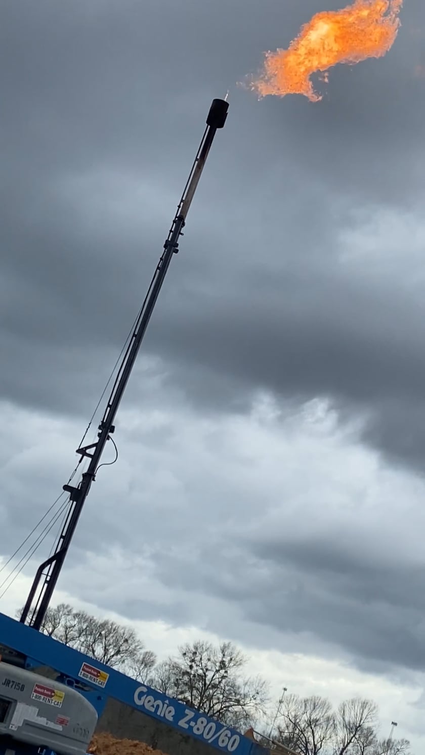
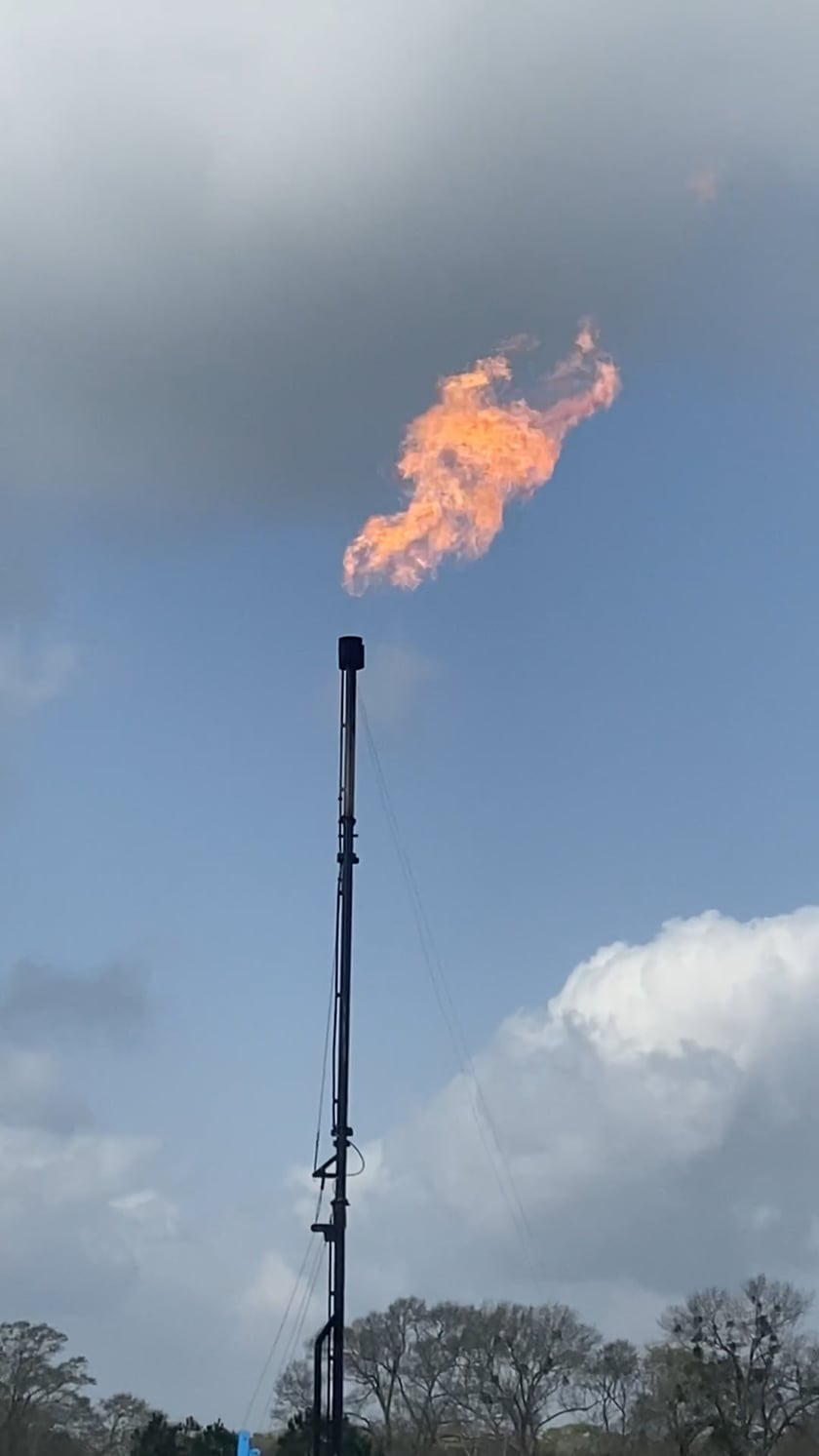
Site Footage


Project Description
The State Line Reese package covers approximately 3,200 acres (HBP) & 15,000 acres in primary term within G&GE’s core operating area. The Reese Well tested 1,810-BOPD well provides a strong analog for “go-forward” drilling development, and seismic mapping defines an LT ‘A’ drill site within the HBP unit; 6–8 potential development offsets (TMS). Near-term value is expected from disciplined prospect maturation and step-out drilling guided by 2-D/3-D seismic interpretation and SRM-MBS pre-drill focusing & JetCav application.